Turn one thermal flight into a report landowners pay for.
Drop in your DJI pins, property line, photos and videos. Tally Wild matches every photo to its pin, walks you through tagging, and builds The Rack Report™, an interactive landowner map, and onX, Moultrie and Google Earth files.
Founding pilots save $100 a year: founding pilots pay $299 a year instead of $399. Only the first 50 sign-ups get it. Every plan starts with a 14-day free trial; cancel before day 14 and pay nothing.
From flight to report in six steps
The same order every job, with a guide and a "?" on every screen.
Drop everything in once
Drag the whole flight folder. Pins, property line, photos and videos are sorted for you. Several pin files are merged and repeats are used once.
Pick the day, set the edge
Only pins from the flight date are used. Choose how far past the property line to look, and pull in any pin outside it.
Photos find their pins
Tally Wild links each photo and video to its pin for you. You only answer the few it isn't sure about.
Say what each animal is
Buck, doe, predator or sign. Points, age, rack and notes with keyboard shortcuts, and pick the photos that go in the report.
Final checks
Catch pins with no type and bucks with no photo before anything goes to the landowner.
Build and send
One click builds every file in a numbered folder with a Read Me First guide, then text the landowner one link.
What your landowner gets
Branded with your logo, numbered so anyone can follow it.
The Rack Report™
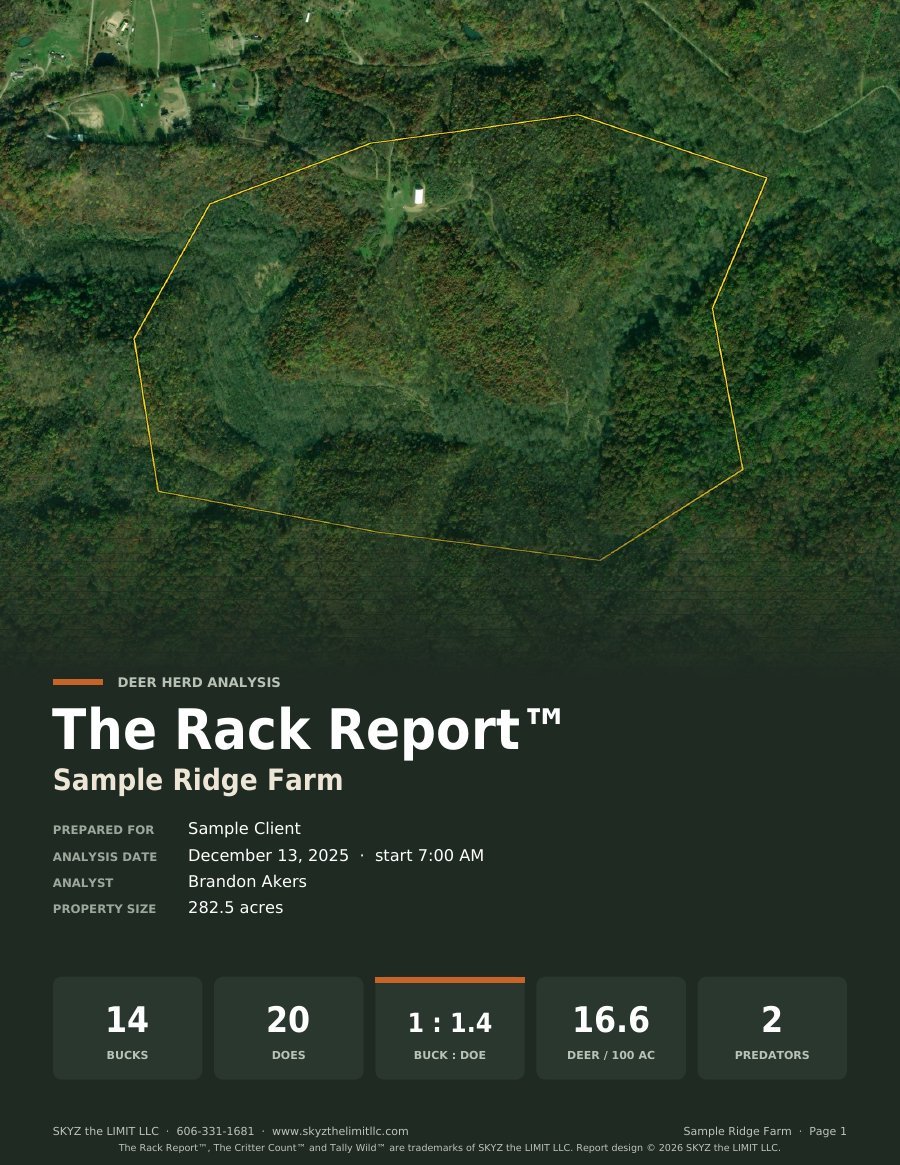
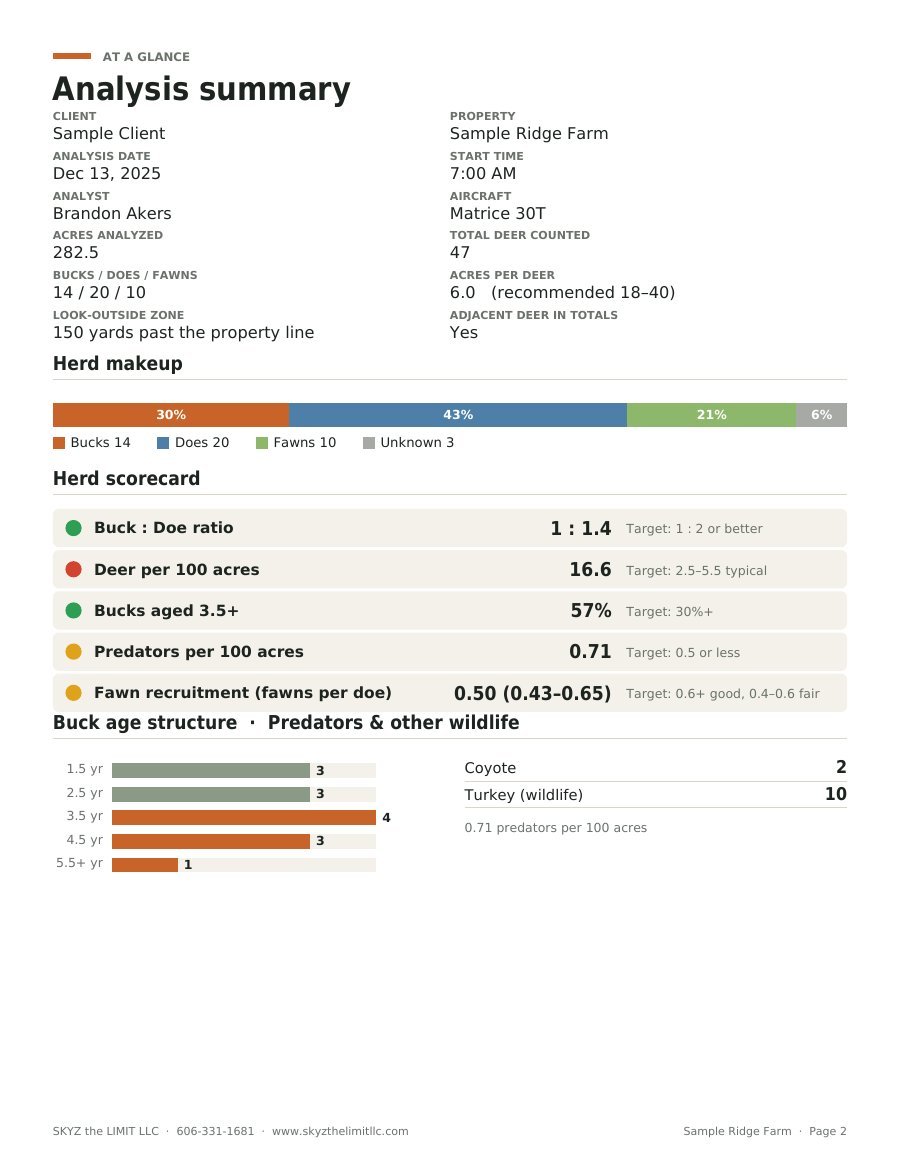
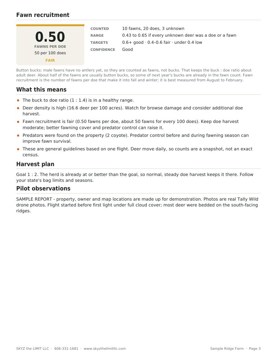
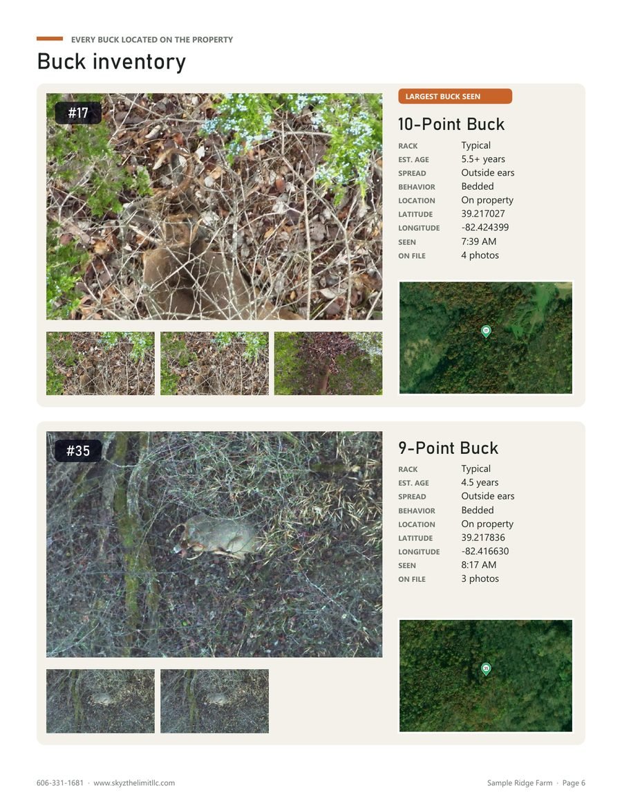
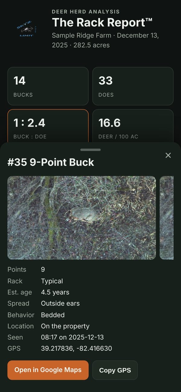
Herd counts, buck-to-doe ratio, fawn recruitment (fawns per doe), density per 100 acres, a scorecard, recommendations, maps, a heat map and a photo page for every buck. Other species get The Critter Count™.
An interactive map
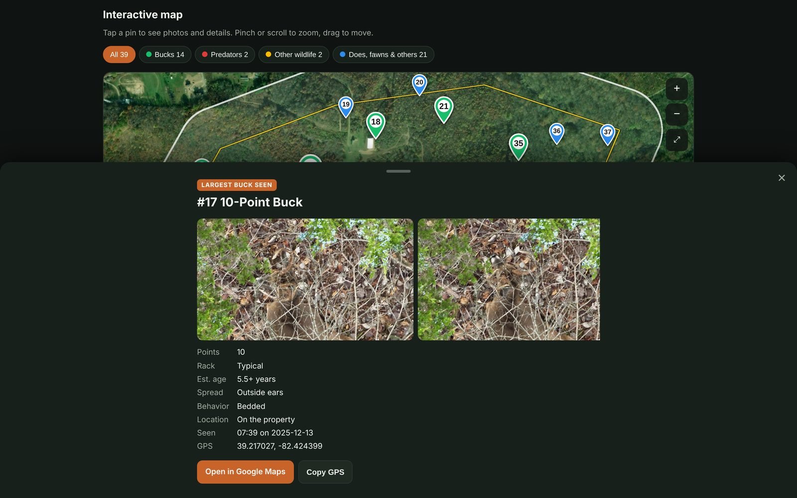
Opens on any phone or computer. Tap a numbered pin to see the animal's photos and details. Share it with one link.
onX, Moultrie and Google Earth
Bucks and predators as numbered waypoints for onX, every animal and the property line for Moultrie Mobile, Google Earth with photos in each pin, plus GPX, KML and Excel.
Every photo, by pin
All full-size photos and videos sorted into a folder per pin, like "Pin 07 - Buck 8-point", with an About file in each.
Off-property bucks and sign
Neighbors' bucks get their own section. Scrapes, rubs and beds are pinned with your description.
Flight details and agency export
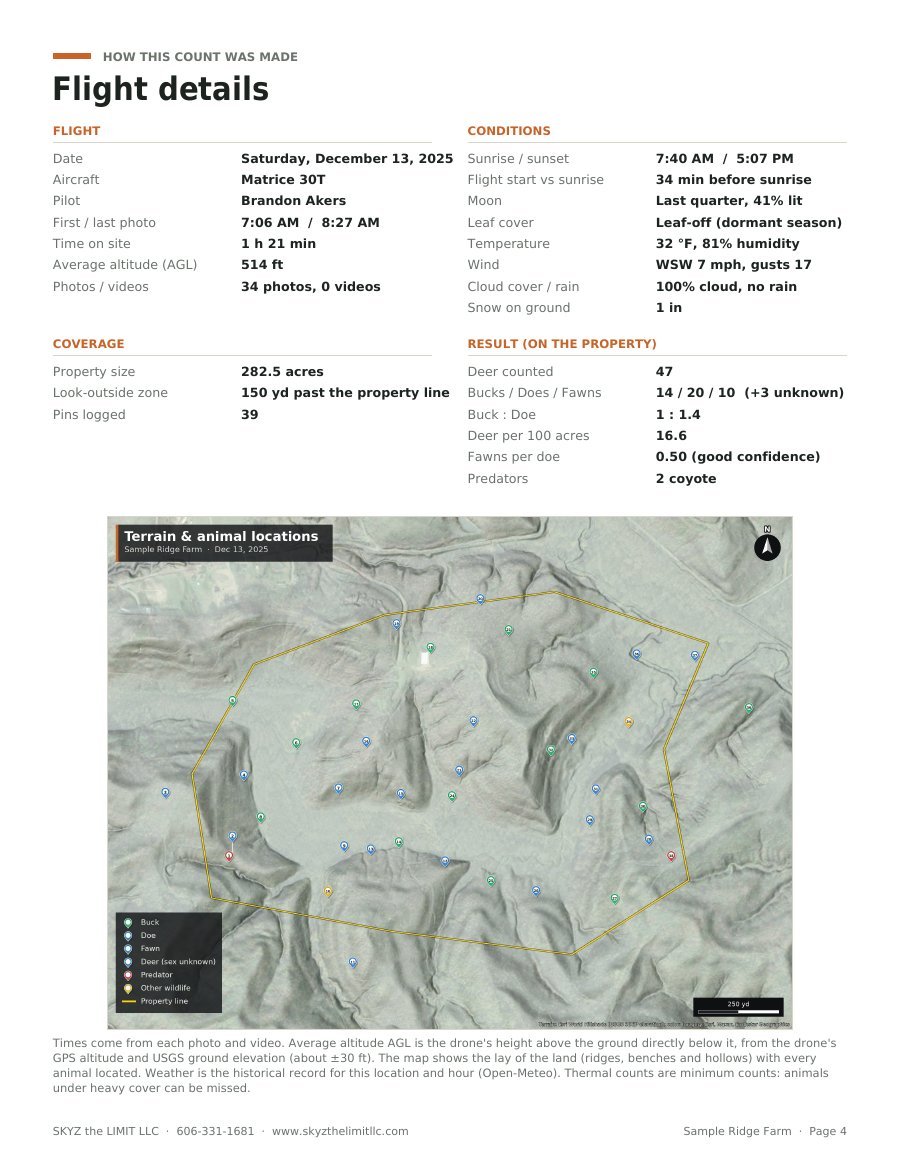
A page on how the count was made (times, average altitude above ground, sunrise, weather) and a harvest plan that adjusts for fawn recruitment, plus a spreadsheet, GeoJSON and shapefile ready for a wildlife officer or land manager.
Quotes and invoices
Flat-rate or per-acre pricing, travel fees and a same-day orthomosaic add-on. Send a PDF quote before the job and an invoice with your logo after it.
See a sample Rack Report™
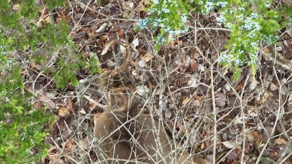
Real thermal drone photos from a 30T flight, placed on a sample property. This is what your landowner opens: the deer herd analysis report and the map that goes with it.
Thermal drone deer counts, made into a product
You already fly the property and pin the deer. Tally Wild turns that thermal drone deer count into a finished deer herd analysis with a buck-to-doe ratio, fawn recruitment, deer density per 100 acres and a buck inventory, so you can sell more than a flight.
Faster than a trail camera census
A trail camera census takes weeks of cards and guesswork. One morning thermal flight covers the whole property, and the landowner gets the numbers the same week to plan food plots, doe harvest and which bucks to let walk.
For drone pilots, outfitters and land managers
Made for Part 107 thermal drone pilots who offer deer herd analysis, deer recovery or wildlife counts, and for the hunting clubs, outfitters and wildlife managers they work for.
Built from real jobs
Every feature came from a flight that didn't fit the last version: a pin file with the property line inside it, a buck just over the line, a pilot whose colors mean something else.
- ✓No pin file? Pins are dropped from your photo groups
- ✓Pins named Buck, Doe or Coyote are typed by name
- ✓Your own pin colors and meanings
- ✓"Same animal?" checks before anything is counted twice
- ✓Make your own species profiles for elk, hogs, waterfowl and more
- ✓Your same-day orthomosaic as the map instead of old satellite imagery
- ✓Year-over-year page when you fly a property again
- ✓Multi-day jobs: pins and photos from several flight days in one analysis
- ✓Step-by-step herd analysis field guide, check sheet, buck aging sheet and fawn and doe guide
- ✓Your own herd targets: buck-to-doe, density, mature bucks, fawn recruitment and the harvest goal
- ✓Orthomosaic maker: stitch your mapping photos into a map right in Tally Wild (coming soon)
- ✓Guided tours and help on every screen
One price. Everything included.
One herd analysis usually pays for the whole year.
The free trial lets you run one real flight start to finish so you can see exactly what you'll deliver. Trial reports are marked "TRIAL" and sharing is turned on when you subscribe.
- ✓Free listing on the Find a Pilot map: landowners near you find you and message you (a $100/yr value)
- ✓Unlimited analyses and reports
- ✓Your logo on every report, map page and invoice
- ✓Landowner share links and all export files
- ✓No giant uploads: raw photos and videos stay on your computer
- ✓Every update and new feature
- ✓Optional AI check: suggested points, rack and age, 8¢ a photo
Questions
Which drones does it work with?
It's built around DJI thermal drones flown with DJI Pilot 2: the Matrice 30T, Matrice 4T and 4TD, and Mavic 3T. Photos with GPS from other drones work too.
Do I need a pin file?
No. Without one, your photos are grouped into sightings and each group becomes a numbered pin. With one, you can load DJI pin exports, KML, KMZ, TXT, CSV or GPX, and several files are merged.
Is my landowners' data private?
Yes. Your files are stored privately, never sold, and never used to identify a property or landowner. Training photo sharing is on for new accounts unless you turn it off (accounts made before October 20, 2026 stay off unless you turn it on), and it sends only wildlife photos and their labels, never locations or names. Share links are random and hidden from search engines, and you can turn any of them off.
My internet is slow. Will uploads work?
Yes. Your photos and videos stay on your computer: the app works with them right in your browser. Only your pin file, property line and the photos you put in the report are uploaded, shrunk to report size, usually about 25 MB a job.
How do I cancel?
Account › Billing › Cancel. Cancel during the trial and you're never charged. Cancel a paid year and you keep access until it ends.
Is flying deer for a report legal in my state?
You need FAA Part 107 to fly for pay, the landowner's permission, and to follow your state's wildlife and hunting laws, which in many states limit using drones to locate game. Check with your state wildlife agency.
Run your next flight through it, free.
Sign-up is open. The first 50 pilots get the founding price: $299 a year instead of $399, a $100 savings, for as long as they stay subscribed. You still get the 14-day free trial: one real analysis and the report you'd send.
Start free trial · $299/yrContact
Tally Wild is made by SKYZ the LIMIT LLC, a thermal drone lost pet search, deer recovery and herd analysis business in Portsmouth, Ohio.
Email: contact@skyzthelimitllc.com
Phone: 606-331-1681
Policies: Terms of Service · Privacy Policy · Subscription, trial & refunds · Acceptable use